V pořadí 73. publikaci vydává Mezinárodní federace zeměměřičů (FIG).
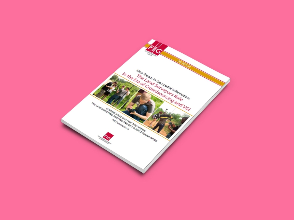
Kniha se jmenuje “New Trends in Geospatial Information: The Land Surveyors Role in the Era of Crowdsourcing and VGI. Current State and Practices Within the Land Surveying, Mapping and Geo-Science Communities” a připravil ji kolektiv autorů třetí komise FIG.
Proč publikace vznikla
V předmluvě se píše, že
The geographic data and knowledge collection and dissemination via authoritative professionals only – characterized as the top-down scheme – has been shifting in the past few years to the bottom-up scheme, in which citizens and laymen generate data they later use as information in various applications and services. This is a new era in the history of human mapping efforts, mainly in terms of data collection, but also for knowledge production.
This neogeography revolution is fundamentally transforming how geographic data are acquired, maintained, analyzed, visualized, and consequently – used. With today’s technology, availability, access and ease of use there is a potential of a geographer within everybody.
In view of these changes in the mapping and land surveying domain over the past few years, Commission 3 has undertaken the mission to prepare this publication within the framework of FIG, aiming to emphasize the accessibility, the potential, and the use of crowdsourcing and VGI as a basic tool for land surveyors and mappers professionals.
During the 2011–2014 and 2015–2018 periods, FIG Commission 3 has addressed this phenomenon of shifting from the top-down mapping scheme to the bottom-up one. Its particular focus has been on SIM Infrastructure, Technical Aspect of SIM, and on Crowdsourcing and VGI.
In this effort, FIG Commission 3 has established valuable collaborations in an effort to adopt a multi-sector approach, and bring together people with relevant expertise, such as academics, experts from the public sector as well as from the private sector, to share experience and knowledge on crowdsourcing and VGI. FIG Commission 3 cooperates closely with UN-agencies (UN ECE WPLA, and UN-HABITAT and GLTN), UNESCO, the World Bank, ISPRS and other sister associations.
This publication integrates the output of research studies done by Commission 3 working groups and resolutions from the past annual workshops (Paris 2011, Athens 2012, Skopje 2013, Bologna 2014, Malta 2015, Iasi 2016, Lisbon 2017 and Napoli 2018).
Prof. Dr. Yerach Doytsher
Chair of FIG Commission 3, 2011–2014
Prof. Dr. Chryssy Potsiou
FIG President, 2015–2018
Dr. Enrico Rispoli
Chair of FIG Commission 3, 2015–2018
Obsah
FOREWORD……………………………………………………………………………………………………………………………..5
Authors……………………………………………………………………………………………………………………………….6
Contributors……………………………………………………………………………………………………………………….6
EXECUTIVE SUMMARY…………………………………………………………………………………………………………7
1 INTRODUCTION…………………………………………………………………………………………………………….13
2 GEOSPATIAL DATA INFRASTRUCTURES – SDI / GSDI…………………………………………17
2.1 Introduction……………………………………………………………………………………………………………17
2.2 Needs, Requirements and Problems in Implementation ……………………………….17
2.2.1 Needs……………………………………………………………………………………………………………17
2.2.2 Requirements………………………………………………………………………………………………18
2.2.3 Implementation Issues………………………………………………………………………………20
3 CROWDSOURCING OF GEOSPATIAL DATA COLLECTION………………………………….23
3.1 From Experts to Amateurs……………………………………………………………………………………23
3.2 What is Crowdsourcing…………………………………………………………………………………………24
3.3 Aspects of Public Willingness………………………………………………………………………………25
3.3.1 Mapping for National SDIs………………………………………………………………………..27
3.3.2 Early warning and disaster management……………………………………………….28
3.3.3 Transportation Infrastructure and Planning…………………………………………..30
3.4 Technical Aspects…………………………………………………………………………………………………..31
3.4.1 Web 2.0…………………………………………………………………………………………………………32
3.4.2 GNSS……………………………………………………………………………………………………………..32
3.4.3 Smartphones……………………………………………………………………………………………….33
3.4.4 Humans………………………………………………………………………………………………………..33
3.5 Reliability of Crowdsourced Geospatial Data……………………………………………………34
3.6 Benefits, Limitations and Concerns…………………………………………………………………….36
4 QUALITY OF GEOSPATIAL DATA……………………………………………………………………………….39
4.1 Introduction……………………………………………………………………………………………………………39
4.2 Quality of the Collected Geospatial Data – Fit-For-Purpose …………………………..39
4.3 Quality of the Crowdsourced Data …………………………………………………………………….42
5 IMPLEMENTATION OF GEOSPATIAL CROWDSOURCING…………………………………..47
5.1 Work Methodologies…………………………………………………………………………………………….47
5.1.1 Passive and Active Engagement………………………………………………………………49
5.1.2 Spatial and Temporal Aspects of VGI……………………………………………………….51
5.2 Crowdsourcing and SIM………………………………………………………………………………………..53
6 BUILDING NATIONAL GEO-SPATIAL DATABASES USING
CROWDSOURCING METHODOLOGIES…………………………………………………………………..55
6.1 Introduction …………………………………………………………………………………………………………..55
6.2 Creating a Common Language by Mapping Standards …………………………………56
6.3 Developing the Crowdsourcing Tools………………………………………………………………..58
6.3.1 The Quality Control Module……………………………………………………………………..59
6.3.2 The Conflation Module………………………………………………………………………………61
6.4 Conclusions and Further Work ……………………………………………………………………………61
7 LAND SURVEYING AND CROWDSOURCING/VGI…………………………………………………63
7.1 Introduction……………………………………………………………………………………………………………63
7.2 Land Surveyors Introducing VGI Practices and Methods ……………………………….65
7.3 Introducing VGI Practices into Cadastre and Land Administration Procedures …………67
8 THE PRACTICE OF VGI IN DEVELOPING REGIONS………………………………………………71
8.1 Introduction……………………………………………………………………………………………………………71
8.2 Conceptual Framework for VGI Application in Land Administration……………………………72
8.2.1 From Participatory GIS (PGIS) and SDI to VGI………………………………………….72
8.2.2 Participatory Land Administration…………………………………………………………..72
8.3 VGI Applications in Land administration in Kenya……………………………………………74
8.3.1 VGI in Tenure Security………………………………………………………………………………..74
8.3.2 Adoption of VGI in a Complementary-Accommodating Approach……75
8.3.3 Adoption of VGI in a Substitutive-Competing Approach…………………….75
8.4 VGI in Transportation…………………………………………………………………………………………….76
8.5 VGI in Civil Governance…………………………………………………………………………………………77
8.6 Concluding Remarks……………………………………………………………………………………………..78
9 CROWDSOURCING APPLICATIONS…………………………………………………………………………79
9.1 Introduction …………………………………………………………………………………………………………..79
9.2 Case Studies……………………………………………………………………………………………………………79
9.2.1 An Open Cultural Landscape Information System in Germany…………..79
9.2.2 Densifying the Static Weather Geosensor Network in Israel
by Crowdsourcing User-Generated Smartphone Data…………………………83
9.2.3 Reliable 2D Crowdsourced Cadastral Surveys – Looking Ahead…………89
9.2.4 Reliable 3D Crowdsourced Cadastral Surveys – Looking Ahead…………95
9.2.5 Fit-For-Purpose 2D Crowdsourced Cadastral Surveys
“No Peace without Land Titles”…………………………………………………………………97
9.3 Prospects of Crowdsourcing……………………………………………………………………………..101
10 OUTLOOK – RECOMMENDATIONS AND OPPORTUNITIES…………………………….102
BIBLIOGRAPHY………………………………………………………………………………………………………………….104
ABOUT THE AUTHORS……………………………………………………………………………………………………..116
Kde publikaci získat
Knihu, která má 120 stran, si můžete objednat přímo na webu federace, případně si ji můžete stáhnout v PDF.